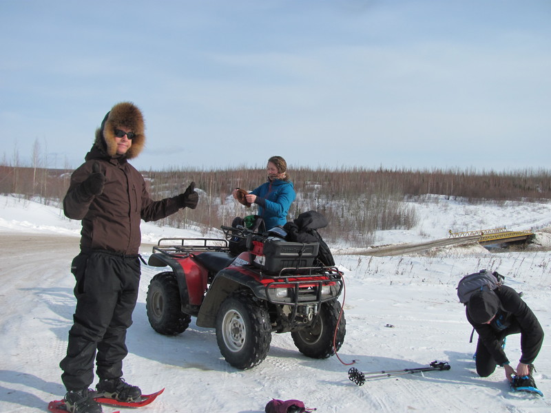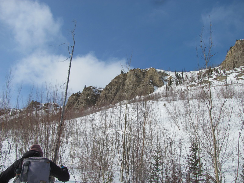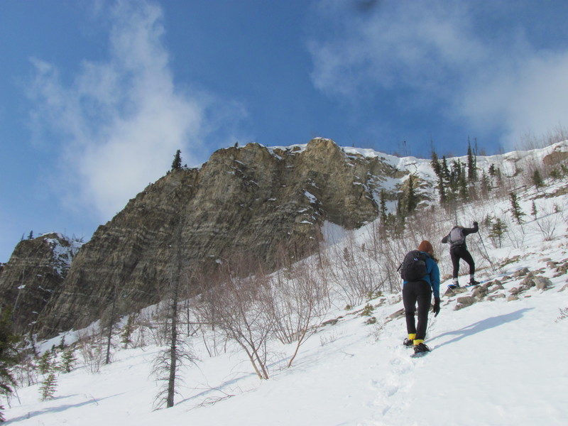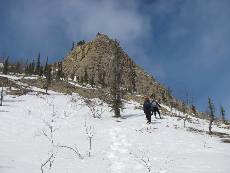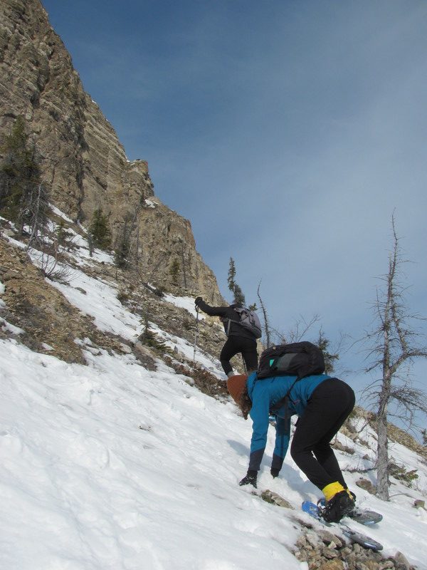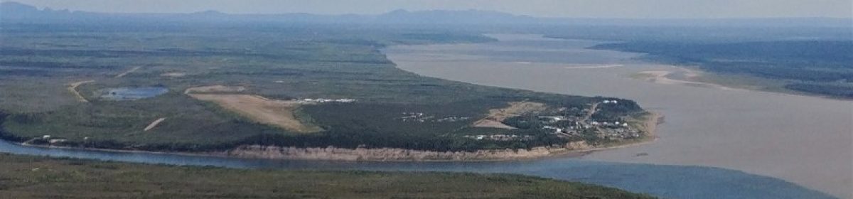
Back when I first moved to Tulita, Parks Canada was getting Google Trekker imagery for national parks all over the country, including Nááts’ihch’oh. On my very first trip into the park, the Trekker came along and got hiked around a few locations in the park.
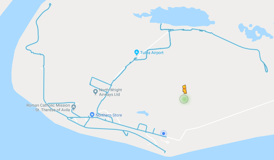
That imagery has been processed, and is now live on Google Maps!

While the team was in Tulita, they also drove the Trekker around town, so Tulita is now on Google Street View!
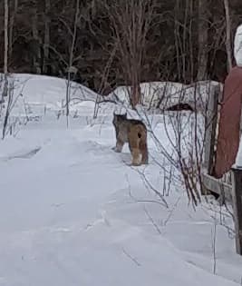
Here’s your Tulita “Where’s Waldo?” checklist:
- Two separate occurrences of Faye & Laani in Parks uniform in different parts of town
- Faye doing a silly walk in each of these occurrences
- Maciek
- A wolf
- A fox