In my previous office in Vancouver, there was an old map of western Canada on the wall which went as far north as the territories. This map had a few divergences from, say, Google Maps, and one notable difference was that this map had a road drawn on it from Norman Wells across the Mackenzie Mountains to Ross River in the Yukon.
But no such road exists… or does it?!?
The second time I encountered this strange feature was at the museum in Yellowknife. This time, the map indicated a summer road from Ross River to the Yukon-NWT border and then a dashed line indicating a trail the rest of the way through to Norman Wells. I asked the museum staff what this was all about, and this was where I first learned of the Canol Trail.
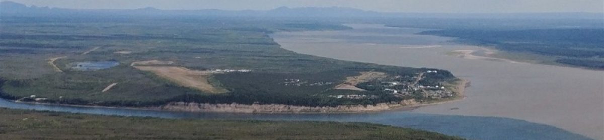
During the Second World War, the American military was keen to build a pipeline from Norman Wells to Whitehorse to supply oil to the Alaskan front, so they funded the CANOL (Canadian Oil) project. 225,000 tons of equipment was brought up by river and portage, and the construction involved tens of thousands of people and took 15 months to complete. The war then ended a year later and the pipeline and road were abandoned, with many structures and equipment left behind.
The Yukon maintains their side of the road in the summer, but the 355 km on the NWT side is a hiking trail that is considered one of the most challenging and remote in Canada. Many people who start the trail are unable to finish it, usually turned back by high water levels at the river crossings (the bridges are long gone). It takes two to three weeks to hike and usually requires a food drop. History, wilderness, and challenge – everything I like in a hike. Any takers?
Further reading:
- http://www.normanwellsmuseum.com/wp-content/uploads/2009/12/NWHC_CANOL_BROCHURE_web.pdf
- http://www.normanwellsmuseum.com/the-sathu/canol-heritage-trail
- http://www.outpostmagazine.com/articles/40-canol-heritage-trail
- http://yukonfrolics.blogspot.ca/2012/08/bikepacking-north-canol-heritage-trail.html
There’s hiking, and then there’s the Canol. Possibly North America’s most rigorous backpacking trail, this 355-kilometre trek follows the route of a defunct military road that once transected the Mackenzie Mountains. Tackling it is an exercise in self-sufficiency and endurance: Most hikers require three weeks to make it to Norman Wells, carrying food, survival gear and an inflatable raft to cross numerous swift, glacier-fed rivers.