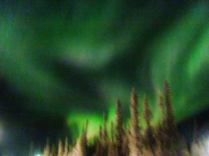
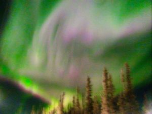
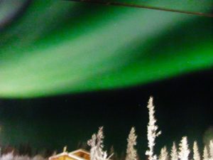
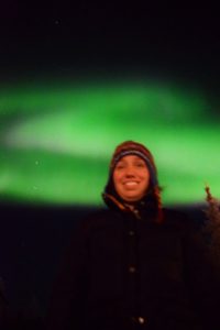
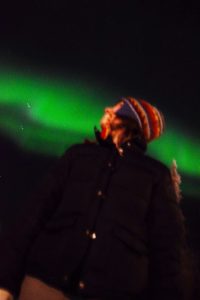
Aurora are fabulously common up here. We’re still figuring out how to use the camera in order to take good aurora pictures, but here are some first attempts:
Faye and Maciek's Adventures in the frosty Canadian North
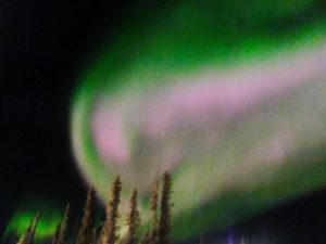
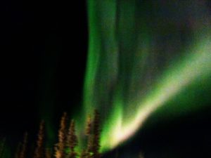
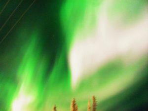
Aurora are fabulously common up here. We’re still figuring out how to use the camera in order to take good aurora pictures, but here are some first attempts:
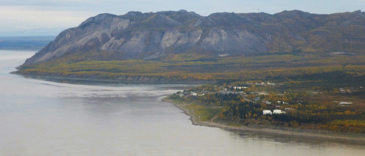
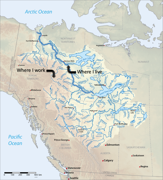
The Mackenzie River is the longest river in Canada (10th longest in the world), running 4,241 km from the Great Slave Lake to the Arctic Ocean. Its watershed is the largest in Canada, encompassing 20% of the country, but only about 1% of the population. The river discharges more than 325 cubic kilometres of water each year, accounting for roughly 11% of the total river flow into the Arctic Ocean. Here is a map of the watershed:
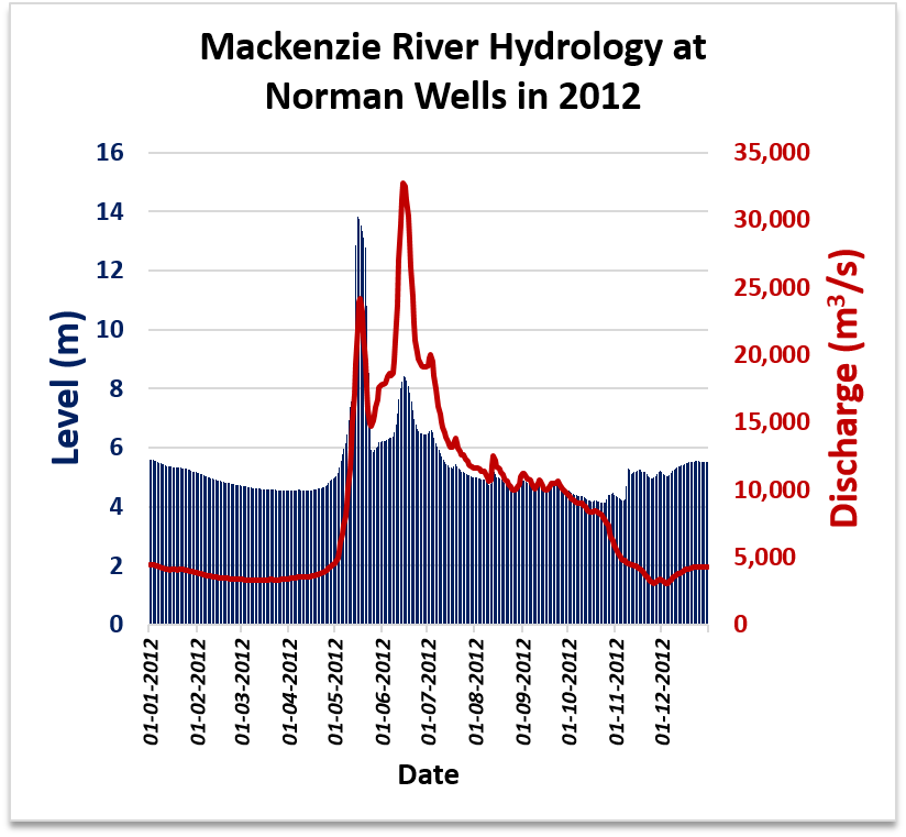
The entire main stem of the Mackenzie River is undammed. The Government of Canada Water Office has a records of the daily flow rates since 1943 and water levels since 2002, which I have graphed for your convenience.


Let’s zoom in onto one year to see what’s going on.
Canada’s North is large and sparsely populated. There are about 44,000 people living in the Northwest Territories, spread over 33 communities – although roughly half the population lives in Yellowknife. This is over an area of 1.35 million km² (Yukon has 34k people over 0.5 million km²; Nunavut has 32k people over 2 million km²). Perhaps unsurprisingly, people south of 50°N don’t know much about what’s going on up here. Here’s a quick NWT geography lesson, in FAQ form.
Where are you moving to again? Toledo?
Tulita. Toledo is in Ohio.
Are there roads there?
There are roads within town, but you can’t get very far on them. There’s a winter road system that’s open from ~January to ~March every year. Here’s a map of the NWT road system: 
Are you north of the Arctic Circle?
Not quite. You can see on the map above that we’re still a bit south of the Arctic Circle.
Are there trees there?
Yes there are. The treeline goes quite far north around here, so we are solidly within boreal forest:
Is it flat there?
We live on the cusp between where it is pretty flat and where it starts to get mountainous. As you can see on the map above, to the east of us it is flat, and to the west are the Mackenzie Mountains. The park is located fully in the mountains:
Is the ground permafrost?
Yup:

Are there polar bears there?
No, there are not. This is where polar bears live:
We hope this answers some of your burning questions!
