After months of thinking about doing this, and then several days of actual work, I put up my first orienteering course around Inuvik!

The base maps took a while to make. They involved learning a new software program, finding a bunch of spatial files on the internet, formatting my layers according to International Orienteering Federation specifications, checking my maps against satellite imagery (the spatial files were out of date), and then running around with a GPS to validate my maps and to find features that don’t appear on spatial files, like benches and smaller trails. The maps definitely still need some work, but that’s one of those perpetual ongoing tasks.
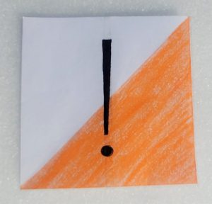
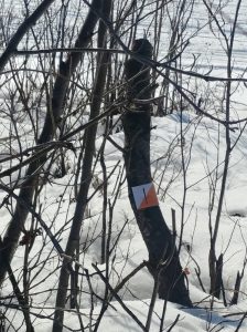
The course itself was reasonably easy to set. I made the flags, stuck them up around Boot Lake, and then mapped out the course. Maciek made the website. This course is self-directed, but now that I’ve got the base maps it’ll be easy to host regular orienteering events when self-isolation protocols lift.